back to Wharram and the Wolds
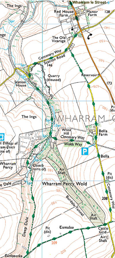
Image produced from the Ordnance Survey Get-a-map service. Image reproduced with kind permission of Ordnance Survey and Ordnance Survey of Northern Ireland.
I've also drawn this route on a Google map. See 'Wharram and the Wolds' walk.