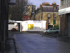
Ripe for redevelopment . . .Photographed on 21 January 2004 |
|
One of the reasons for compiling these pages was to record some parts of York as they are now, before they change. So many streetscapes have altered already beyond recognition, as a result of the demand for housing and "brownfield land". There's a large area of brownfield land between the Stonebow and the River Foss. I wouldn't want the whole of York to look like this area, pictured below, but these shabby, semi-derelict areas have their own kind of atmosphere, which I tried to record, before it disappears. There are more views of this area, taken from across the river, in By the Foss – 1990 and 2004. |
 |
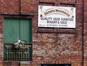
Left: Dundas Street, off Stonebow 'The post-war developments alongside the Stonebow are
well-intentioned but mediocre, and to the rear the land remains under-exploited
or contains miscellaneous industrial uses.' This land is still 'under-exploited', but soon to be redeveloped. |
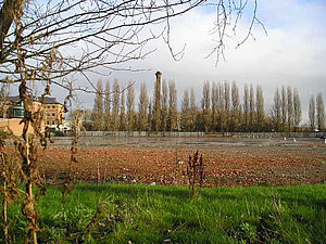 |
Between Peasholme Green and the Foss. The tall chimney of the incinerator at the Foss Islands tip is visible on the skyline behind the trees, and the DEFRA building is on the left. (See Foss Islands Road, Navigation Road and Walmgate.)
For more photos of this area, from the other side of the Foss, see By the Foss – 1990 and 2004. |
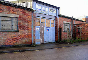
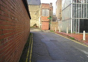
Below: Carmelite Street/Palmer Lane area, off Stonebow |
|
 |
This may look like a derelict industrial area now, but the land around here holds all kinds of secrets. The ancient Gild of Cordwainers (shoemakers) once had their Hall here in the Hungate area. |
 |
'At the farther end of Hungate, on the left of the street
called Palmer Lane (formerly Pound Lane) stood the church of St. John
the Baptist, in which Richard Russel, Lord Mayor in 1430, and John Thirsk,
Lord Mayor in 1442 and 1462, both of whom resided in Hungate, were buried.' Archaeological excavation in recent years has revealed more of this area's history. See The Hungate Archaeological Project (external link) |
|
Above: Looking towards Stonebow from the Hungate area. See also – the other half of Stonebow and Hungate in York Walks /2. |
|
 |
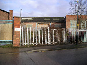
Alongside the old telephone exchange, Garden Place. Straker's Passage is at the end of the wall here on the left. |
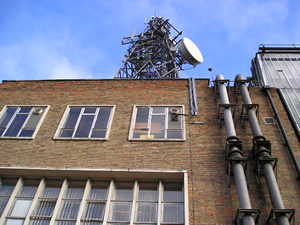 |
Telephone exchange, Garden Place. This building, says Ronald Willis, in his Portrait of York (1982) was one of the first on the Stonebow site, and was "highly praised" at the time. Imagine York is a searchable collection of photographs of York. It includes an image of the telephone exchange when it was new, fifty years ago: Photo of York telephone exchange, 1954, from the Imagine York collection – © City of York Council. |
 |
It was probably hi-tech at one time. |
 |
|
|
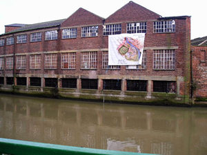
Above: buildings by the Foss, near Clifford's Tower. Related pages: another major area due for redevelopment is York Central (aka the York Teardop) – part of the site is covered in York Walks /3: York's other railway museum. |
|
|
|